Kyiv's Zhukiv Island in Spring
This time I wanted to reach the southernmost end of Zhukiv, which is a thin cape pointing to the Olhyn island. It was unknown whether it was possible to reach without a boat because of a sand storage area on the way there. I walked 21 kilometers this day.
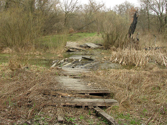
As it was usual, I took a bus to Korchuvate to get to Zhukiv. The plan was to try to stay on the Konyk strait bank as long as possible. I found a path that I didn't know of yet, despite having thought that I saw every place on Zhukiv already. This new overgrown path took me to a dead end — an arrow of land almost surrounded by water, that once had a bridge for explorers like me. But — the bridge's best before date had passed a long time ago, and it was unusable.
I double-checked the possibility of a jump or rearranging the wooden debris. No, it was too far and I risked losing my new point-and-click camera to this soggy place, which would have been a fiasco. Had to look for other options. None of them were found ahead — only a partially submerged refrigerator was there.
Had to backtrack a bit. The water body was getting narrower in that direction, and finally there was a place narrow enough to be jumped over. But — shame! — I did not have to jump, because some unknown explorer had put a few thick branches here for convenience. I crossed the water here.
The picture was taken from the target shore.
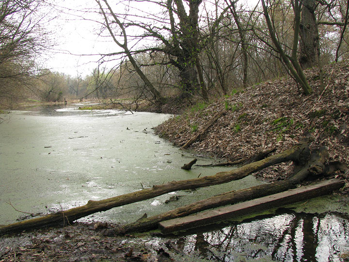
The meadows and wetlands of this shore were those already known to me from an earlier walk, but this time they were not under ice and not traversable. Had to circle around some big puddles.
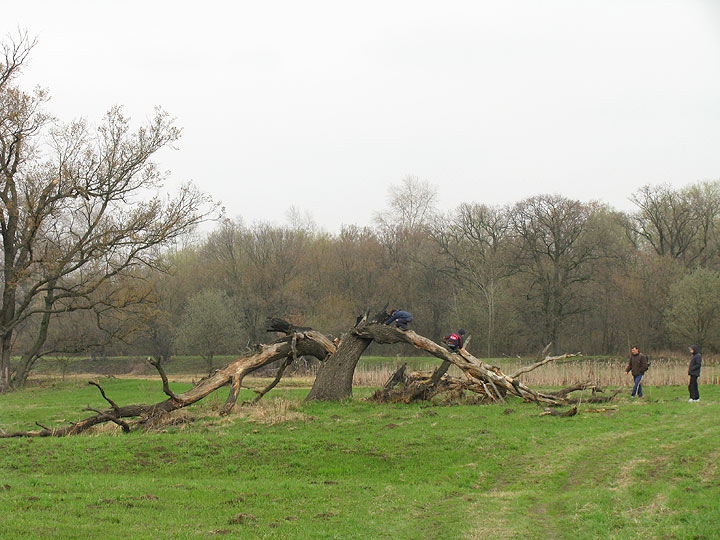
I met no people for some time until this place where my side paths finally joined a more mainstream one. Leisure walkers were here, and the two halves of one tree still kept their pose resembling the horns of an african buffalo. I've been here before.
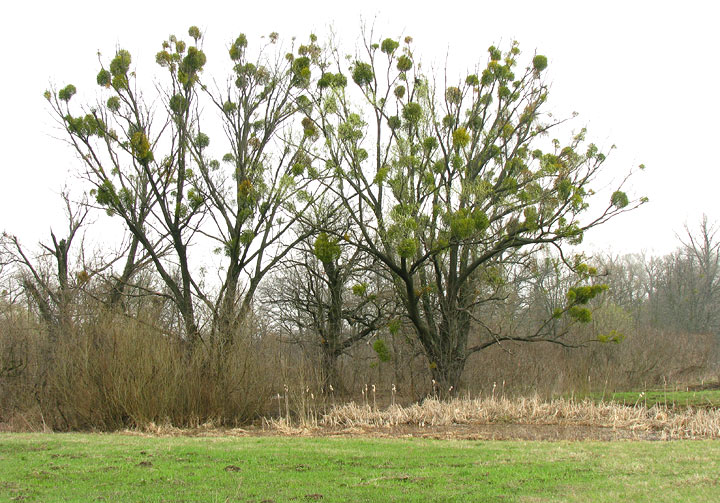
Mistletoe was shamelessly feeding on many trees.
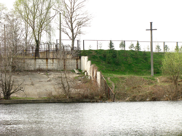
The opposite side of Konyk strait displayed an example of apartheid.
«UkrAvto» corporation was to the right, and something unknown was to the left of the fence.
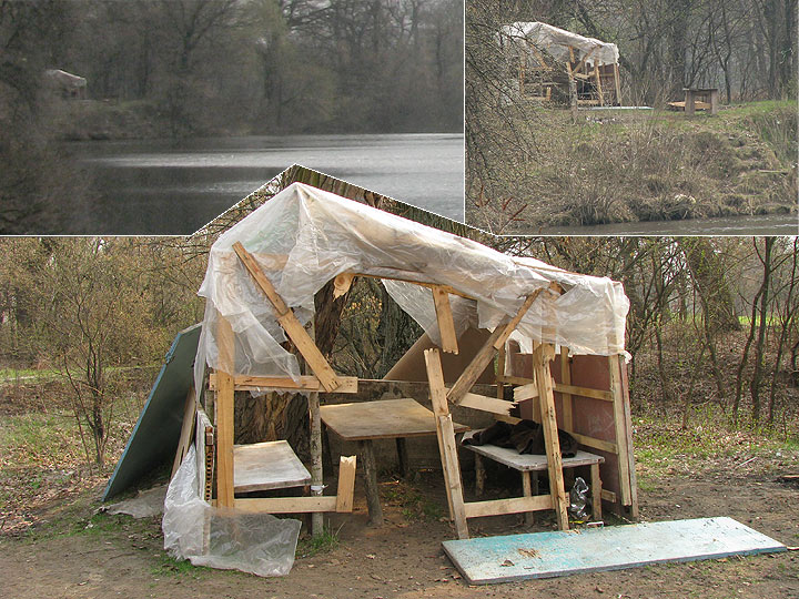
I kept trying to be as close to the Konyk river as possible. After leaving it in order to cross another water body, I came back to find this fisherman's hut, which I had noticed with the camera zoom from far away.
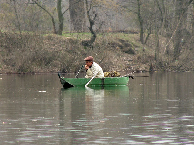
There have been many boats during the previous two days everywhere. And all the people in the boats that I saw were eating. Here's one of the hungry boat captains who was having a break from fishing on Konyk.
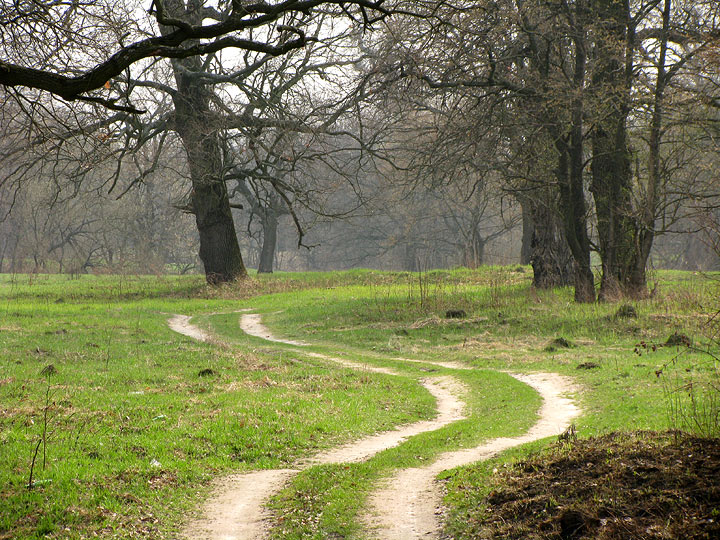
A lovely, winding track road was nearby.
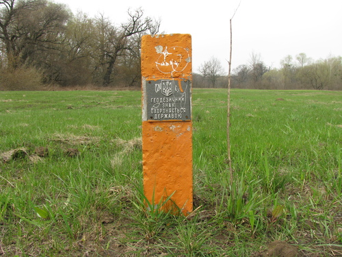
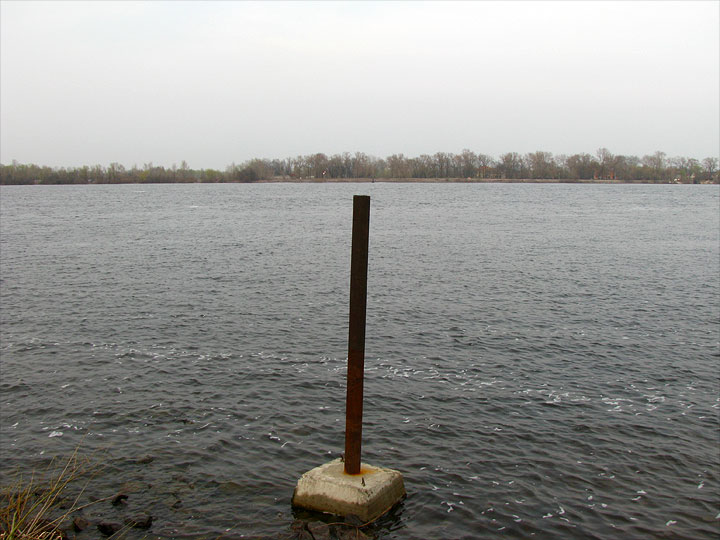
This tiny concrete stump was a geodesic sign protected by the state.
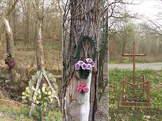
Got out on the tarmac soon. There were a lot of roadside wraths for traffic accident deaths. It was so strange to see so many of them here, inside a reserve, where there weren't many cars. How could these people die here among the trees, birds, swamps, tunnels and footbridges?
There also were many animals killed by cars.
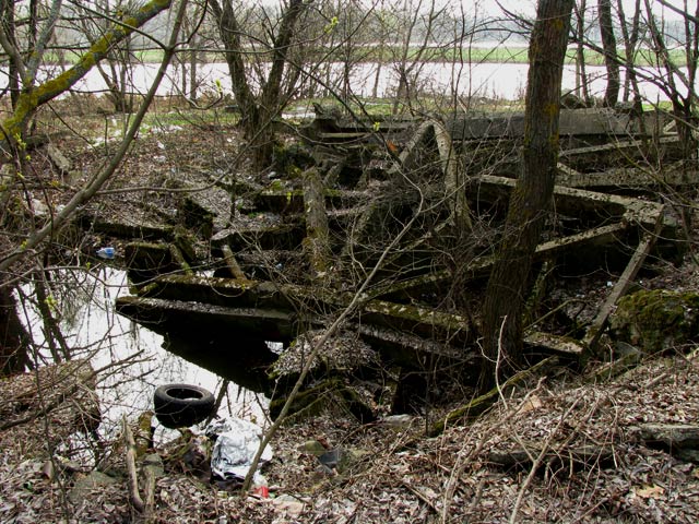
I had some thoughts about organizing the cleanup of waste from Zhukiv, but the further I went the bigger were the piles of garbage and the bigger were the items in these piles. Some things required boats or helicopters to be retrieved. These are modern-day Augean stables:
That didn't even look like garbage. Maybe, these were the remains of dam construction? I do not know.
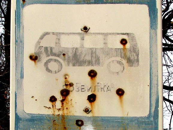
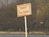
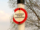
This bus stop sign had holes from bullets on it.
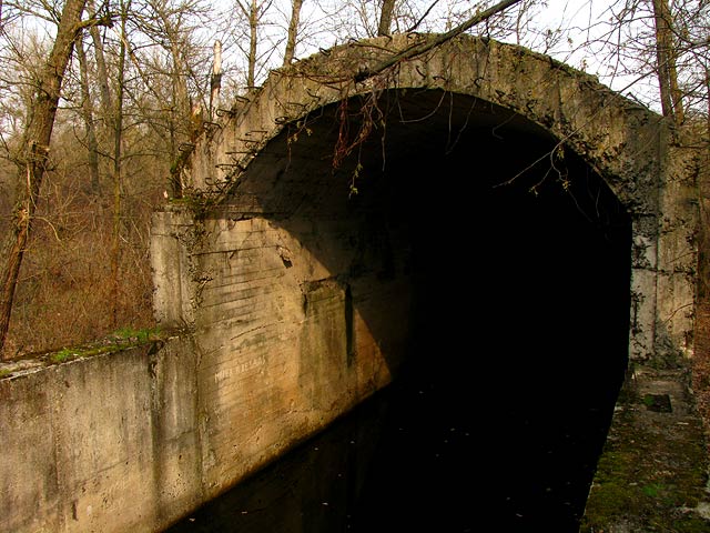
I lost the interest in the tunnel already. Decided to visit it just to be able to say that I've been there in all seasons. A filming crew was standing with their equipment, planning their next shots of the tunnel. I just passed by them, as if it was my daily routine, and continued on the tunnel's roof. I already came to the conclusion that we shouldn't have been this tunnel had to be let go as. We should stop thinking about it as of something extraordinary, because there already are finished tunnels of much greater technical complexity in the world, like the one under the English channel.
Climbing down was scarier, when it was not ice but black water below. But I had already climbed down when I understood that.
I continued to my target of that day — the southernmost end of Zhukiv. New expensive cars were riding here. Some recreational complex was being built by the rich and for the rich. The road itself was a bit dull, with only the trees on both sides.
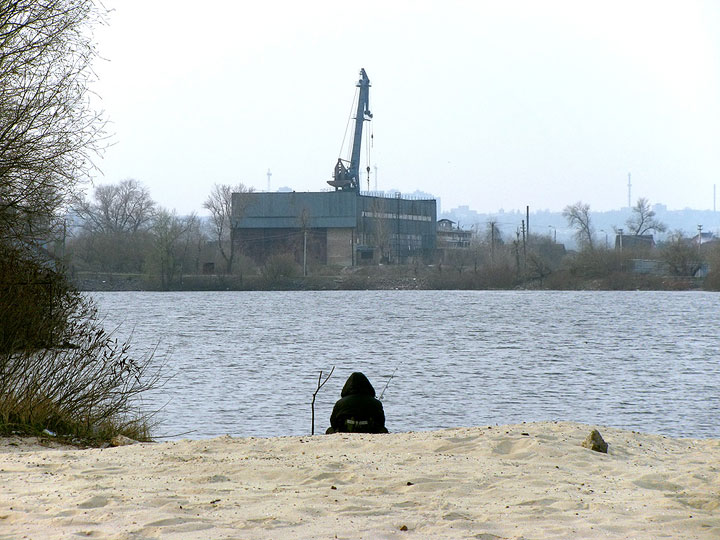
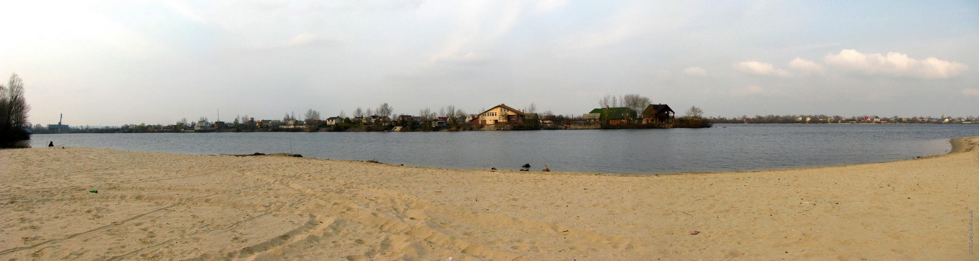
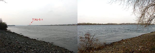
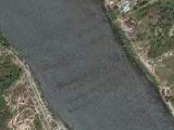
There was a track road that I took next because it was going into the direction of Dnieper. It was a beach on the Staryk bay of Dnieper. The opposite shore is the Vodnykiv island:
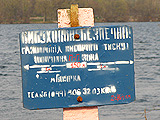
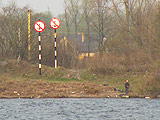
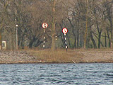
It turned out to be a prohibited area — just not all roads blocked and signed. There was a sign about an angry dog standing on the track road that I used to leave the beach. Never met the actual dog — only heard it barking.
A long road was next. It went by the Dnieper, the shore of which was fortified with rocks here. There was a restaurant and numerous cars of fishermen along the way.
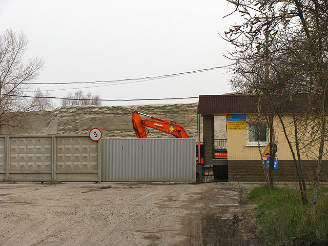
I reached the industrial area that was between me and the southernmost tip of Zhukiv. The entrance looked impassable:
Fence is a good thing. But it would not be nice if people could not reach some land because of you, wouldn't it? The administration of the area seemed to think the same and left one section of the fence uninstalled at the very edge of Dnieper:
They had only the pole installed in case the fishermen and psycho tourists like me began misbehaving.
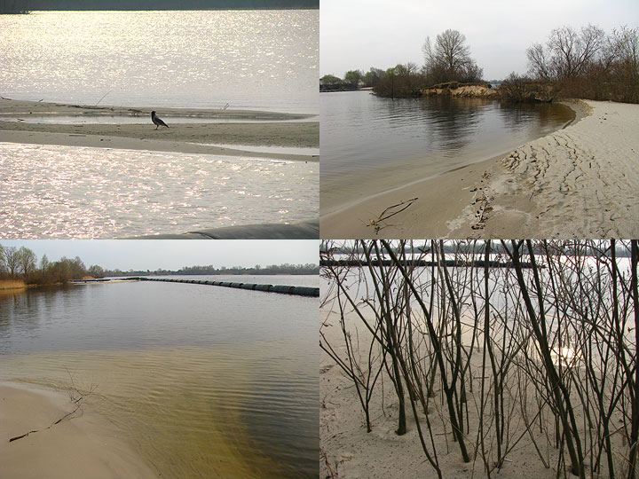
I stood here for a few minutes, doubting. Firstly, I waited for some signs of discontent from the staff. Secondly and lastly, the day started to fade for the night, and I had to walk all of that in reverse. After some tihnking, I understood that I was not going to come here again in my life, so it was better to finish the route. Nobody cared about me, so I decided to run the water edge to save time. So I did, and saw nice little beaches, sand spits and tiny straights, over which I had to jump.
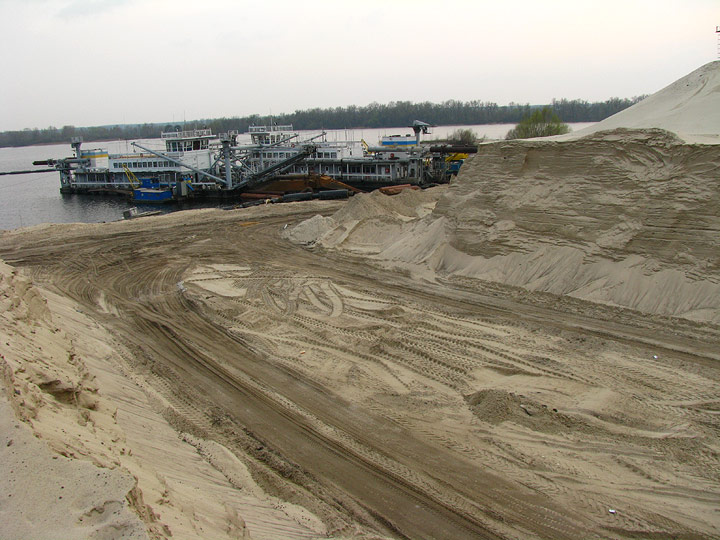
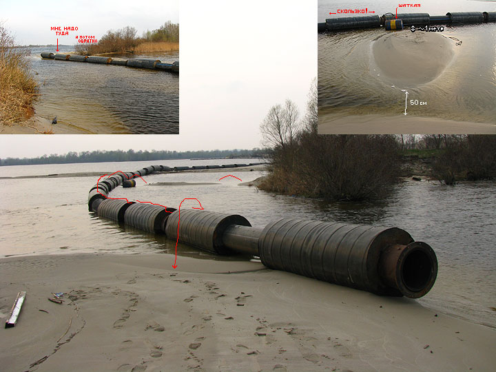
The sand storage had four or five big hills of sand sucked from the river bottom. They were separated by a rectangular grid of wide passages for trucks. A very big suction dredger was moored here.
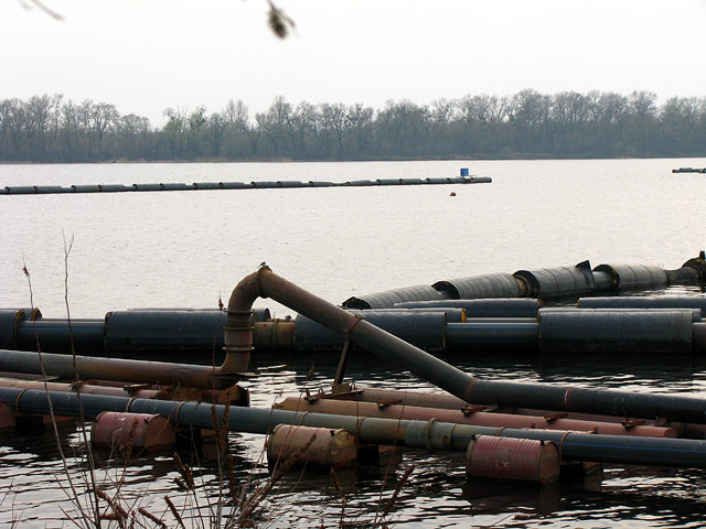
The dredger vessel had conical devices to break the riverbed if it didn't want to give in. A wed of pipes were floating around the whole cape. Never before had I seen such complex operations in this field.
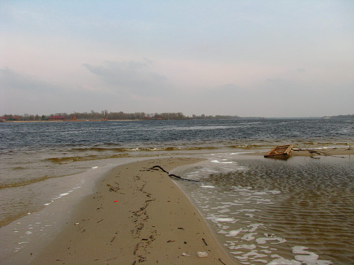
The southernmost end of Zhukiv island
It was a long thin spit of land, ranging from as narrow as 1.5 metres up to 40 metres, and about 600 metres long. It had trees on it, and looked like it could have been a wider piece of land, but decreased by the sand mining. I was running over it — sometimes on the water edge, sometimes using a weakly visible path on the small ridge in the center. Nice landscapes of sand and water were there to my sides.
Technically, this (probably, man-made) strait was the end of island by definition. But it didn't feel this way, and I wanted to get to the little island ahead. It was possible to do using the suction dredger pipe that was conveniently put between the two lands either by fishermen or the sand storage staff. It was not the easiest thing to do, but I went for it despite fearing to drown my devices. The pipes had footprints of other people — I was not the first one at it.
There were three fishermen as far as on this tiny island, and me. I was in a hurry and didn't care about staying quiet, making a lot of noise in the bushes. It wasn't long until the target was finally reached. It was nothing spectacular here.
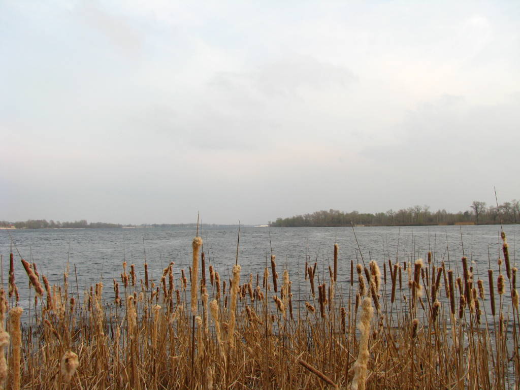
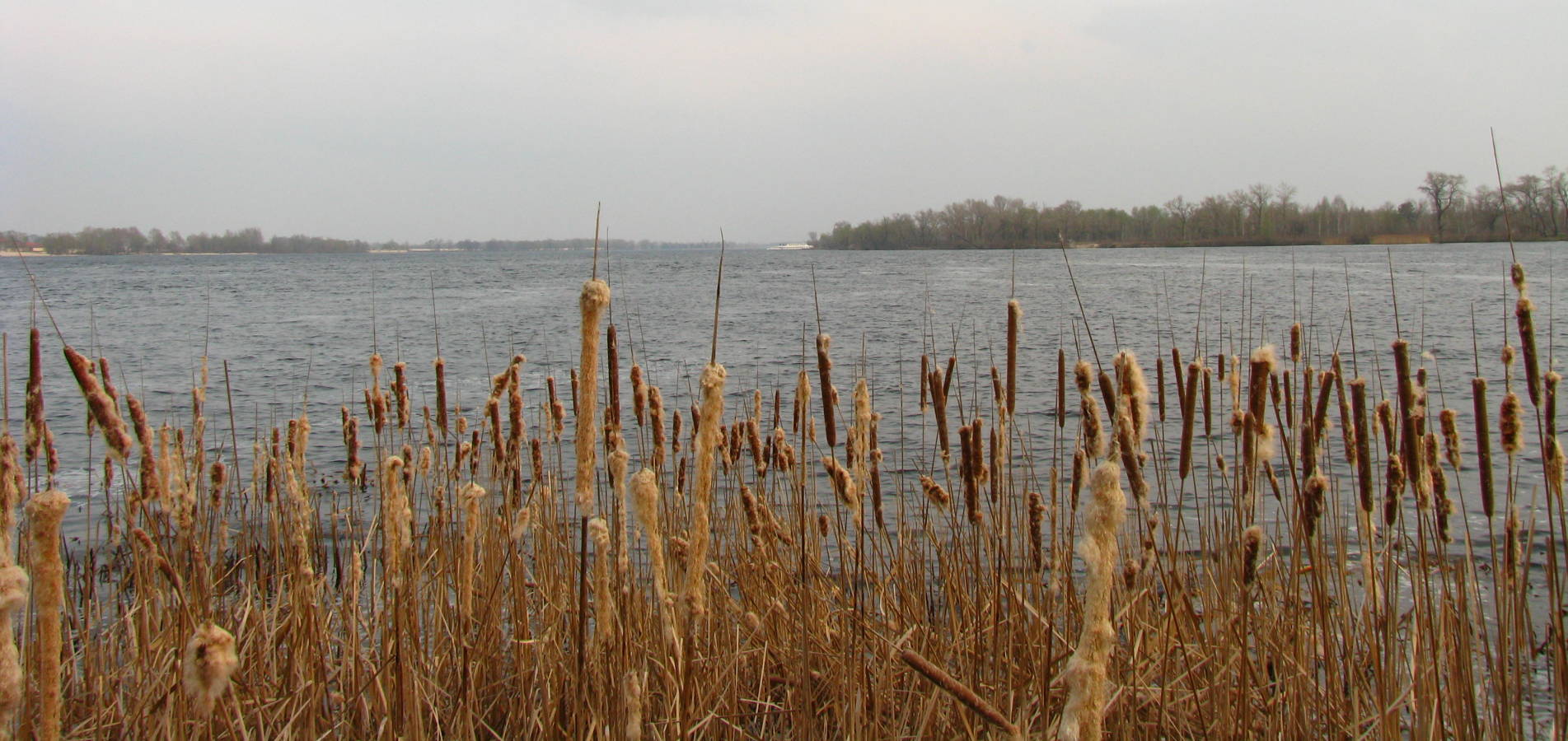
It was simply the reed mace here, no nice views. Some water of Dnieper was visible, as well as the Olhyn island with a moored recreational vessel.
Some maps were also saying that Kyiv city edge was right here, too.
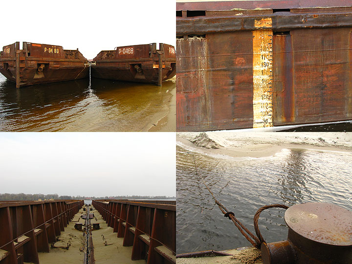
Now I had to backtrack in a fast tempo to get to the civilization before the dark. Made a little stop to climb two rusty barges moored near sand storage.
That was it. One of my lifetime best walks reached its conclusion. I was quick enough to get into a marshrutka before the twilight.