Walked a bit around this Carpathian village, and made two failed attempts to summit some hills. These failed attempts made me love hiking. I did try the local dish called «riplyanka», and I do not recommend it, unfortunately. It is just mashed potatoes mixed with corn flour. If you found yourself in this village, you should go up the mountains, and descend back only when you need to rest.
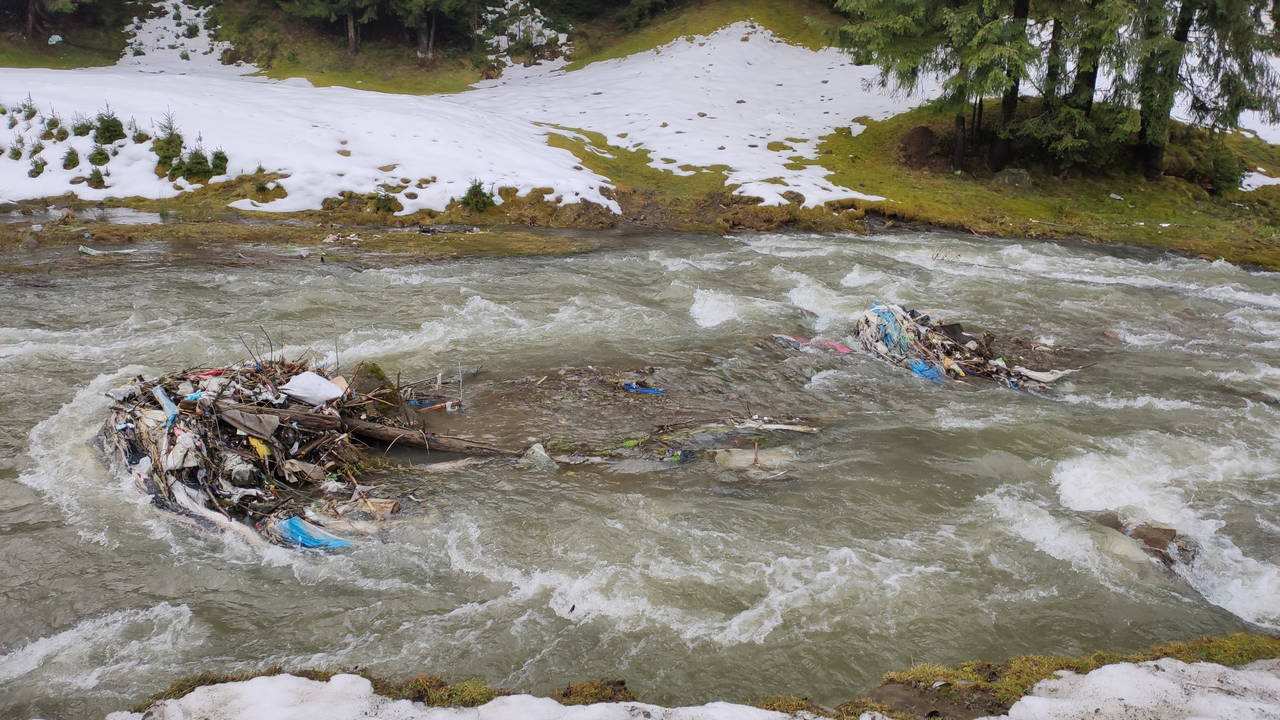
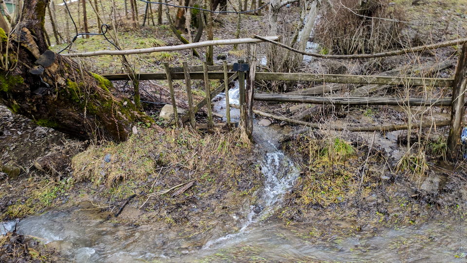
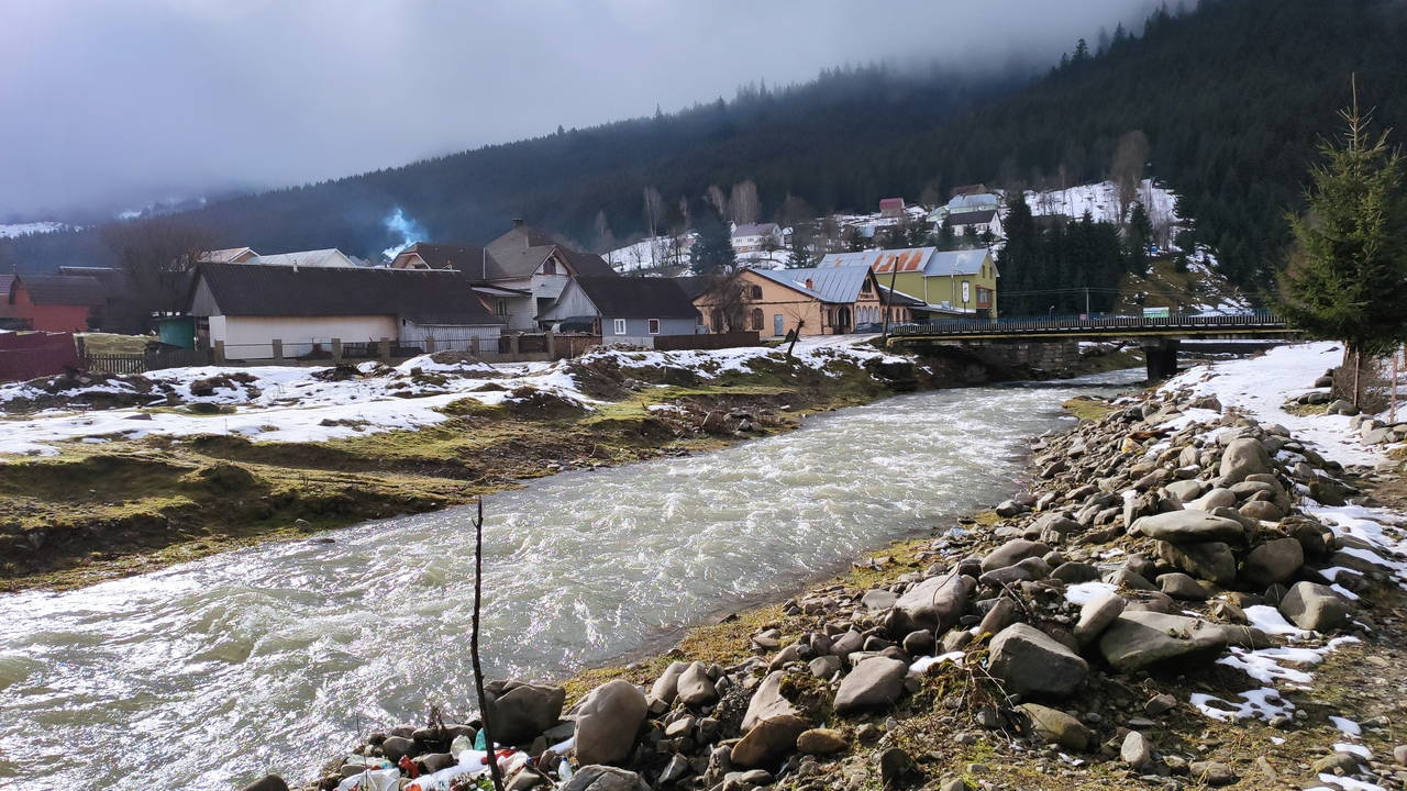
There were many streams everywhere. Unfortunately, the bigger ones had lots of litter downstream.
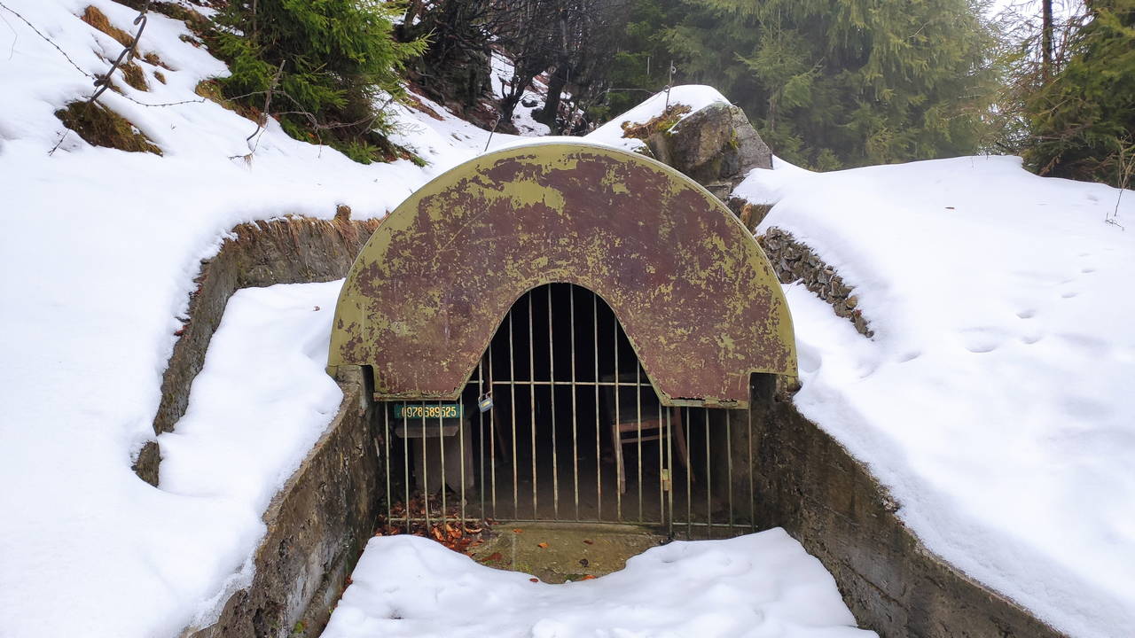
These remnants of military fortifications were regarded as one of sightseeing places in Kolochava. They can be found at the beginning of the road going into Mereshor direction. The fortifications were closed; a mobile phone number was provided in case a tourist wanted to summon a guide.
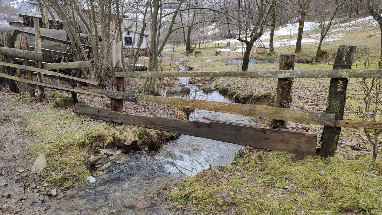
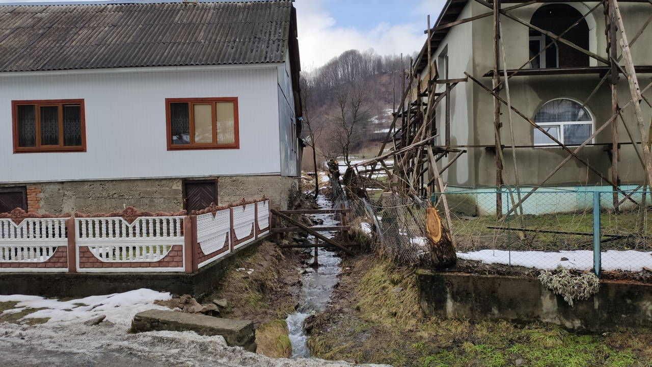
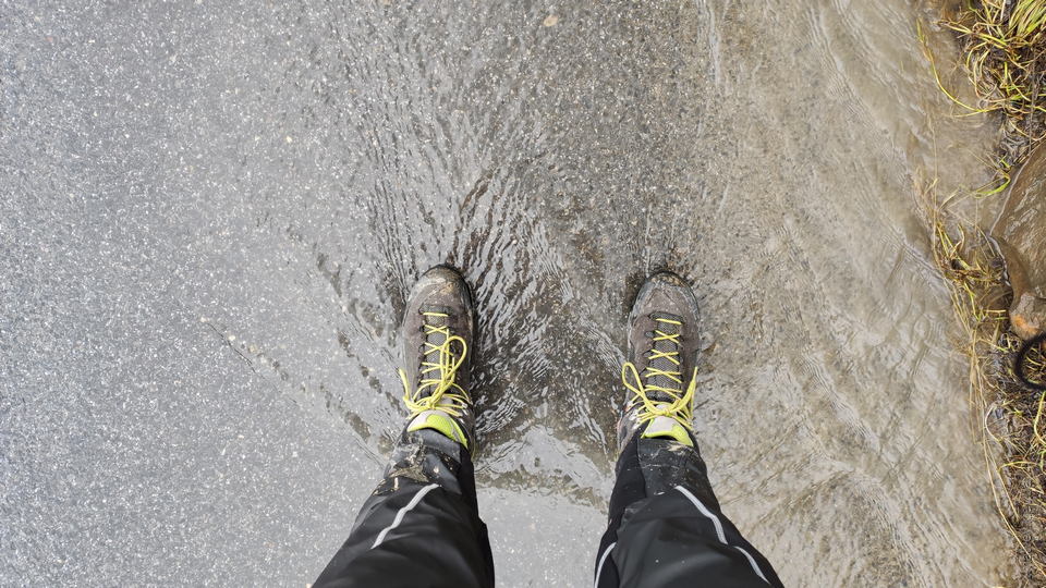
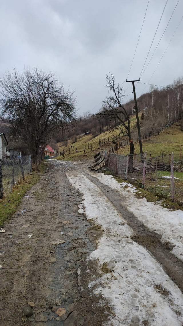
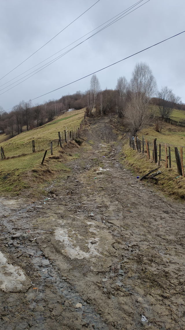
Carpathians are the kingdom of water. It was flowing, rushing, falling, resting as snow, hanging as fog and clouds, standing in puddles of various forms, sizes and depths.
Streams of varying sizes were flowing between houses, through the farmland, parallel to the road, perpendicular to the road and sometimes simply using roads as waterways. Beautiful.
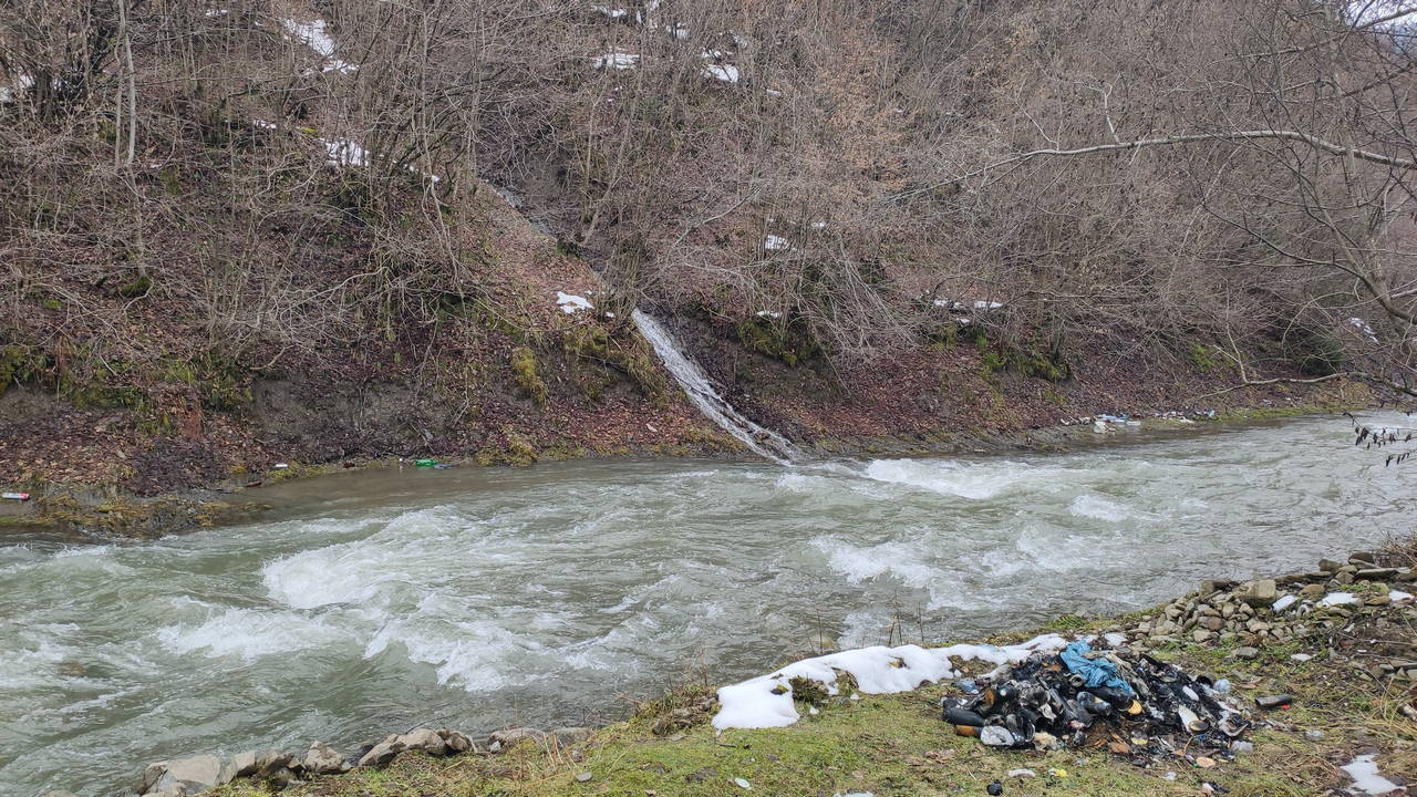
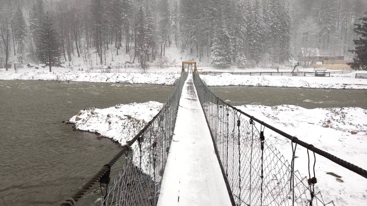
A footbridge over Tereblya halfway between Kolochava and Mereshor. There was a heavily littered water spring on the opposite side of the river.
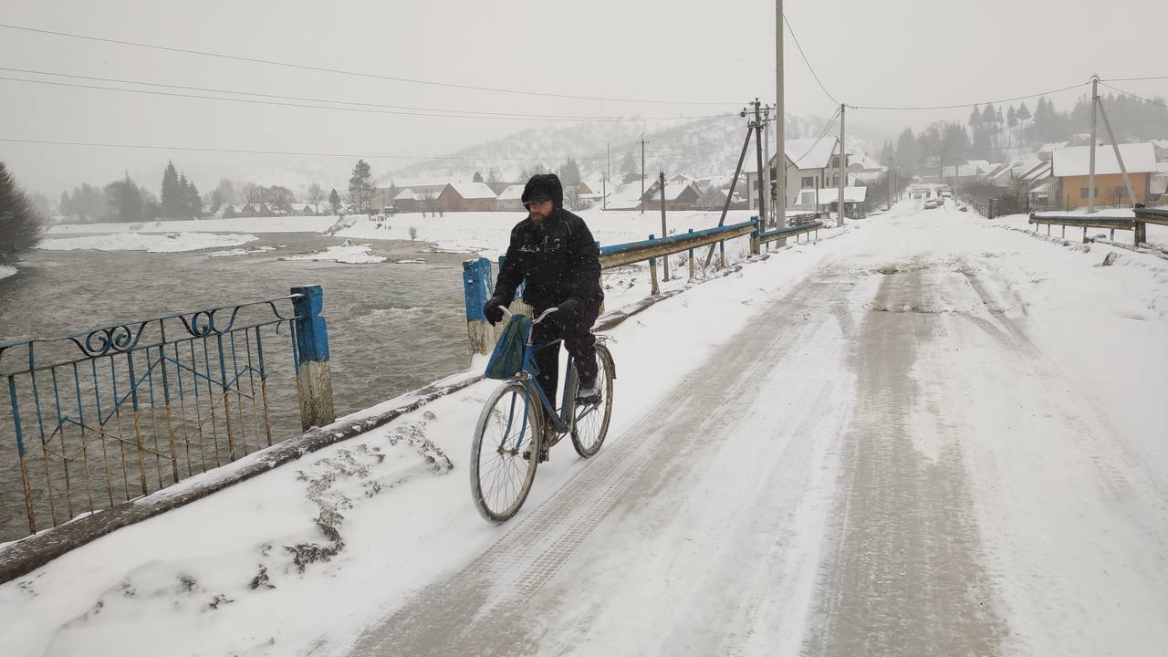
Commuting on bicycles in -15°C (5°F) was not uncommon here.
I was not alone on this trip, but so alone I was in my urge to climb some hills. I felt obliged to leave the narrow stripe of flatland because we were in the middle of ukrainian Carpathians, where people are supposed to climb hills. I made a solo attempt to see how far up could I get in the direction of the highest local summit, which was called Strymba and had 1719 meters (5640 feet) over the sea, of which 1100 meters (3680 feet) was the prominence to be climbed from Tereblya river level.
Here is the Sukhar stream, as it was seen on my way to the start of the climb. This photo of Sukhar was made not far from its confluence with the Tereblya river.
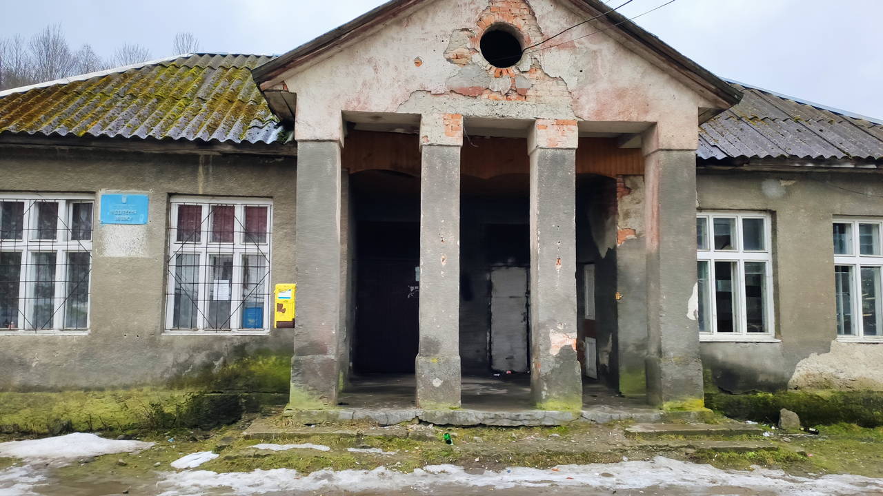
I passed by one of Kolochava's post offices.
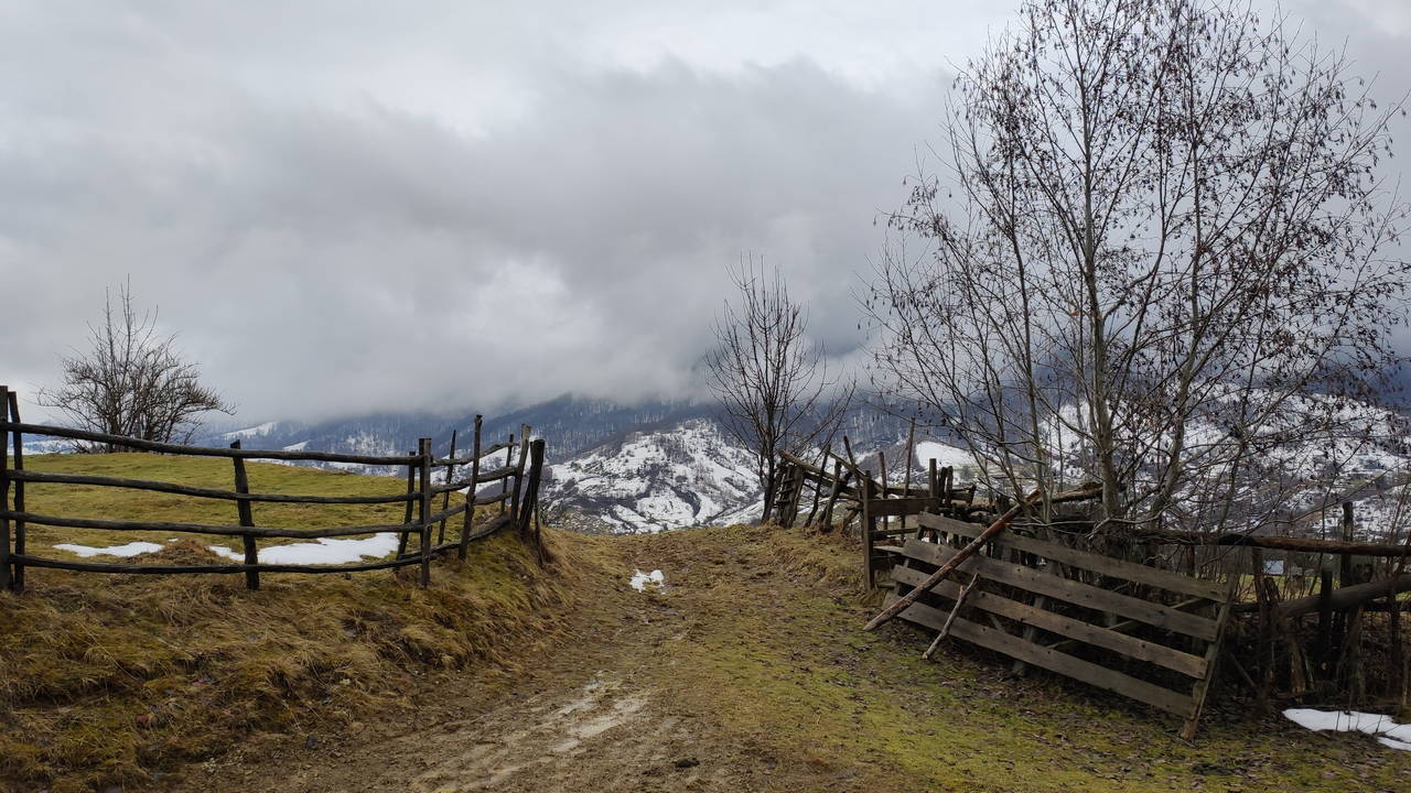
The start of the steep climb to the Strymba peak. It was real steep, hard to believe the fact it is one of the official marked paths; I had to crawl on all my limbs to overcome some stretches.
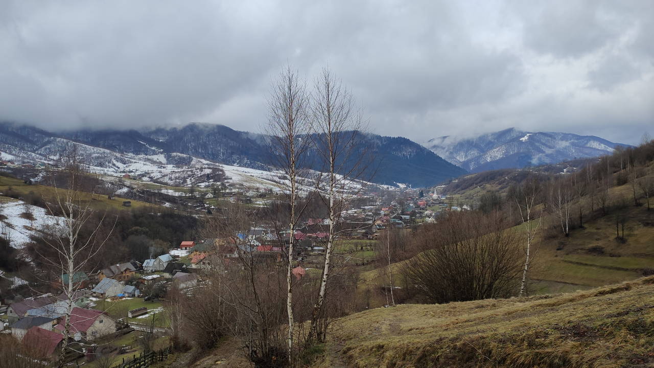
Every step up changed the view. This was magnificent. I got hooked here. This wasn't my first Carpathian mountain, but it was here that hiking became my second favorite activity after cycling.
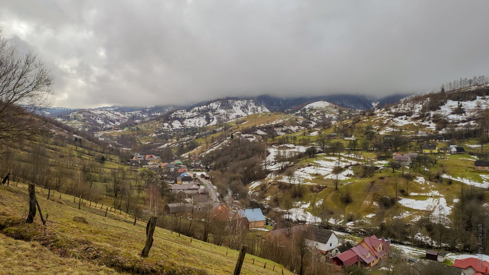
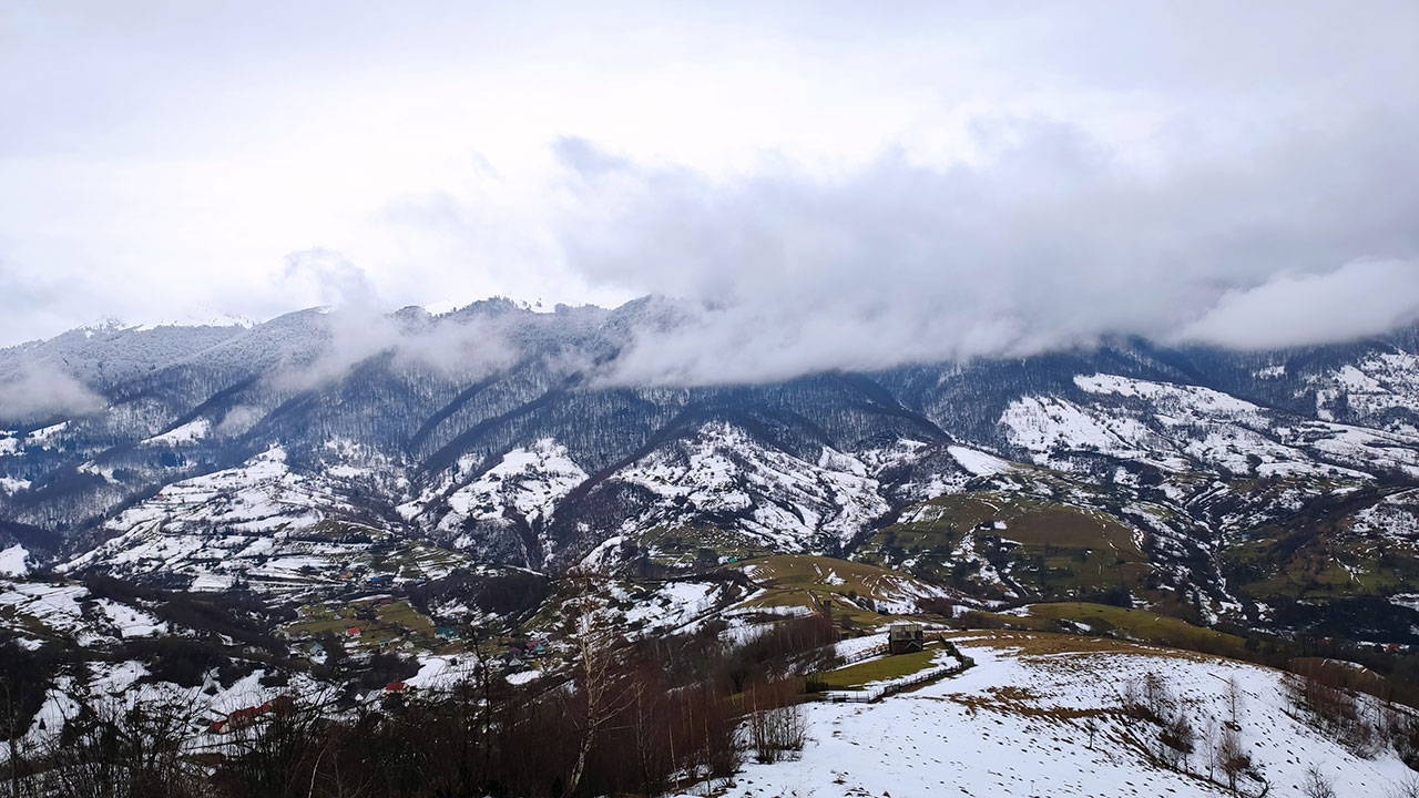
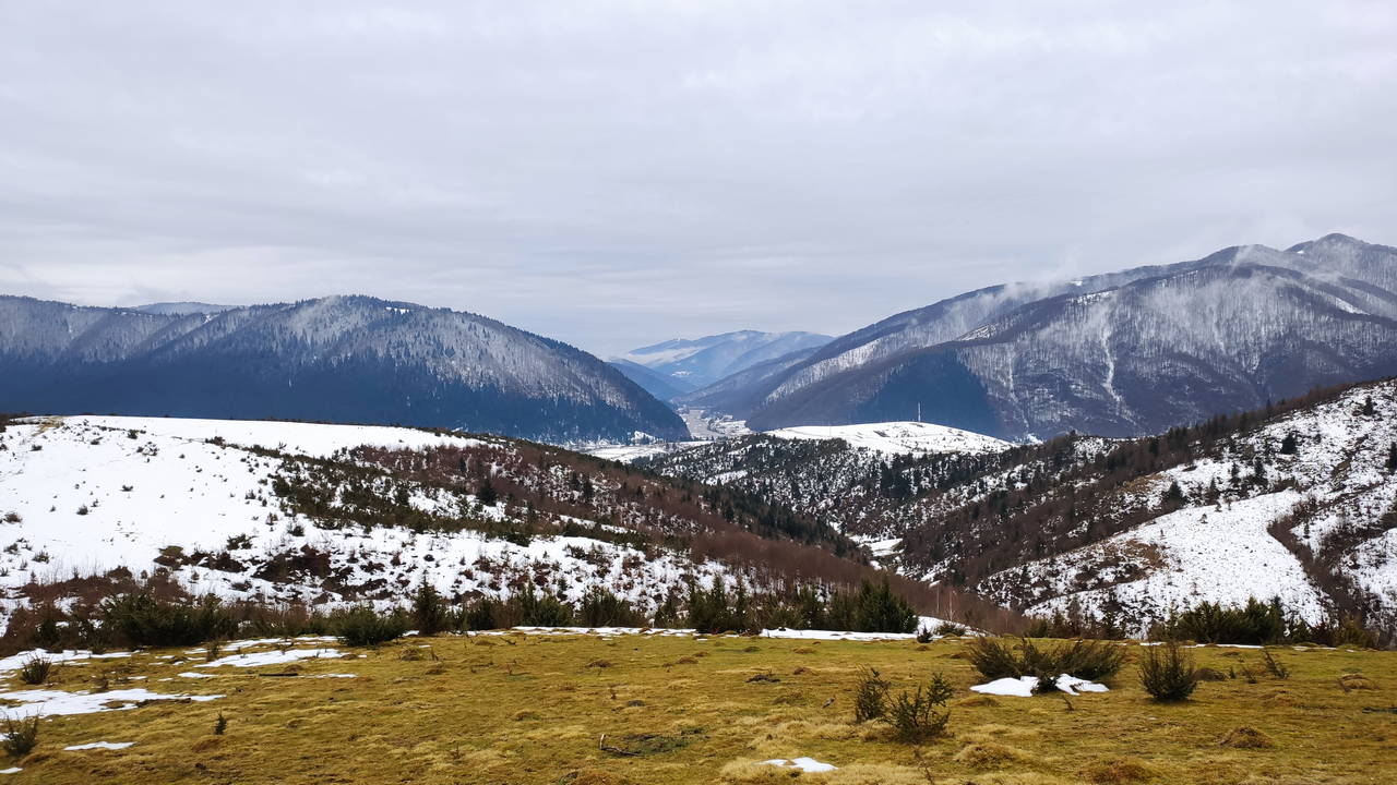
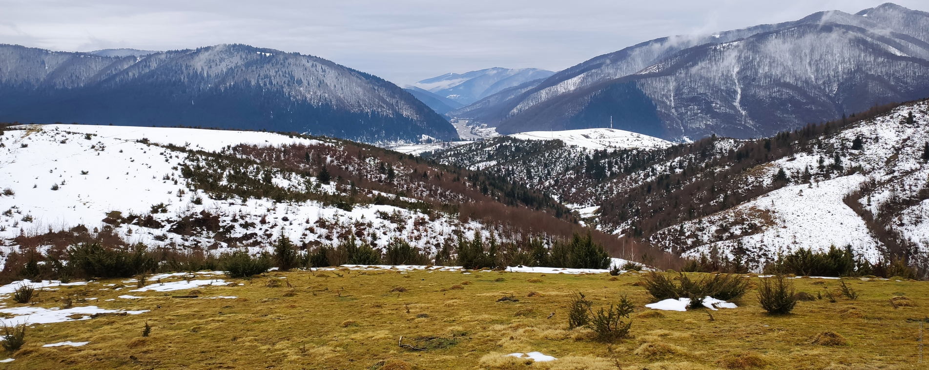
The ridge on the other side of the valley is the location of Krasna polonyna and the Topas peak.
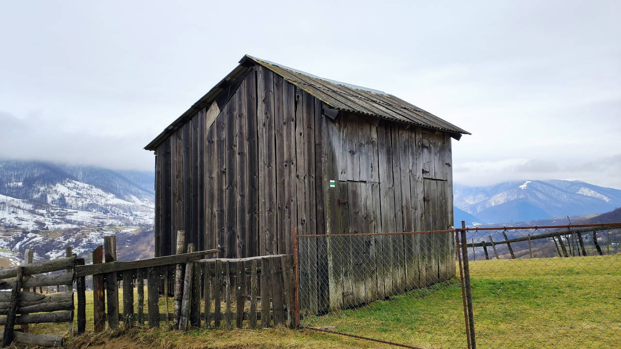
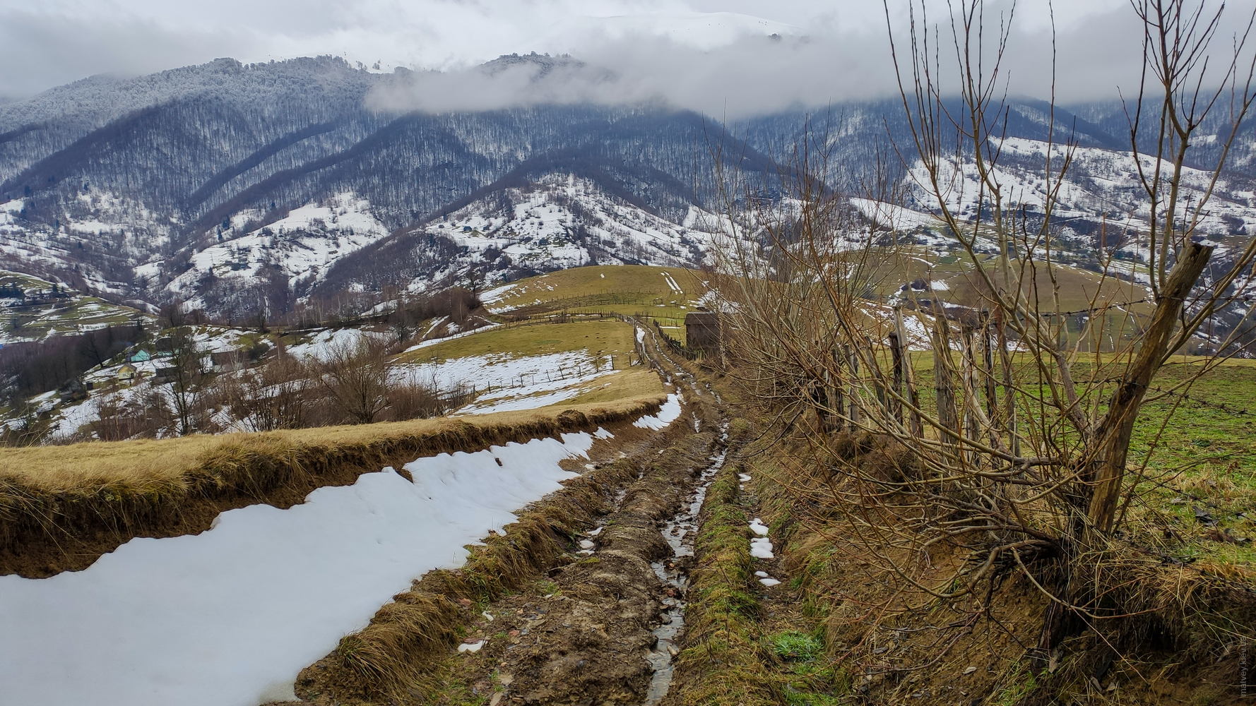
Everything seemed an eye-candy to me there. For example, this simple barn some 300 meters above the village. It was a mystery to me how the materials and tools have been delivered up here. The road to this place required a heaviest-duty specialized vehicle, as per my opinion. This was just a simple barn, of course, but there were more serious electrified houses nearby. My only version was that people have been using tractors like «Prykarpatets» during dry season in order to build houses here.
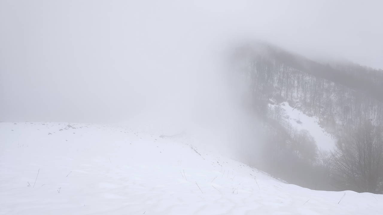
I've said that every step up this climb changed the view. Here is why I aborted my badly-prepared mission. This was just 100 meters above the barn. A radical change, ain't it. Visibility inside this cloud was not greater than 10 meters.
You can imagine that I've been left with a classic hard choice between red and blue pills:
proceed for further 700 meters of elevation gain, survive hours of climbing and descending through the thick snow cap, do it fast enough to avoid the night, while having only the boots (good ones, but without ice hooks) and only one liter of tea as food, in zero visibility (had a GPS-navigator, though). Receive awe and praise from non-hikers afterwards; or...
drink all the tea at once, enjoy the views just under the cloudline, use another trail to descend and call it a day. Eat borsch and have a sauna with my non-hiker friends.
I succumbed to gravity, let my self-preservation instinct take control, and backed off. This was one third of the complete elevation gain. I seriously doubt that I'd made it to the summit that day. Left Strymba unchecked on my bucket list.
Another failed attempt to climb something happened after a hard time talking my friends into it. They agreed at some point, and we went in the direction of Darvayka summit. There was a 10-month-old toddler among us, and absolutely no equipment. Our very slow-paced attempt had nice adventures, such as a vertical cattle path, steep descents and enormous pools of melted snow on our way. The attempt concluded at just about 250 metres of gained elevation. We drank the tea and went back. This was actually a good choice, since the route already presented significant dangers for the child. No one except me even had shoes resembling trekking boots.
I think I have learned some lessons about hiking during this stay in Kolochava. First is «do not waste time talking friends into climbing mountains. Going alone is faster and more realistic.». I have already successfully applied this lesson on two other Carpathian hills since. I hope life will let me try Strymba and Darvayka again sometimes.